In the CBS Ghosts TV show, adapted from the BBC Ghosts, Sasappis actor Román Zaragoza had his Native American backstory revealed in episode 14. While Sam (Rose McIver) and Jay (Utkarsh Ambudkar) tried to create a website for their B&B, Sasappis offered to help tell their story, as he was a Native American storyteller when he was alive. Ghosts showrunners Joe Port, Joe Wiseman, and actor Zaragoza talked about the importance of Native American representation in the show and why they wrote Sasappis as a storyteller.
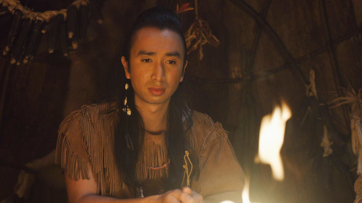
 Román Zaragoza as Sasappis in ‘Ghosts’ | CBS via Getty Images
‘Ghosts’ Actor Román Zaragoza wanted a Native American Lenape consultant to help with writing Sasappis
The US Ghosts cast features spirits from across American history. This includes Civil War captain Isaac (Brandon Scott Jones), lady of the Woodstone Manor Hetty (Rebecca Wisocky), Jazz singer Alberta (Danielle Pinnock), Viking Thorfinn (Devan Chandler Long), and Native American Lenape Sasappis (Román Zaragoza). CBS recently renewed the show for Ghosts Season 2.
And as a guest star on Ghosts, Gregory Zaragoza, Román Zaragoza’s father, played Sasappis’s father. After filming Ghosts Season 1,Episode 1, Zaragoza recalled talking with the showrunners about writing his character. Basing Sasappis in Native American history needed work.
“After the pilot, I had really good conversations with the Joes – Joe Port and Joe Wiseman – about bringing a Lenape consultant into the project,” he told Observer. “If you want him to be Lenape, you should be engaging with the tribe or someone who is associated with the tribe because otherwise, it could come off a little disrespectful. I’m like, ‘I’m not Lenape. I’m not knowledgeable on the Lenape…