NANTICOKE – One inning. That’s all it took to send Carbino Club/Archbald into the elimination round of the Pennsylvania State Major Softball Tournament.
St. Mary’s scored six runs in the fifth inning, and pitcher Gia Straub held the Section 5 champs to just three hits en route to a 7-3 win Thursday night at the Nanticoke Little League field.
It was Carbino Club/Archbald’s first loss in the tournament, and also, the first setback of the 2025 all-star season.
“It was just one bad inning,” Carbino Club/Archbald coach Sumer Ploskonka said. “We made some mistakes, and we just didn’t play up to our standards today. We are still in it, and we just have to make some little adjustments here and there.”
St. Mary’s advances to the winner’s bracket final Saturday to face off with Caln Township, while Carbino Club/Archbald starts the climb back Friday with a 4 p.m. matchup with District 9 champ Bullskin Township.
“That was the goal for us. We wanted to play in the 7 p.m. game today, and play in the 7 p.m. game on Saturday,” St. Mary’s coach Doug Straub said. I really like our ballclub. We are working really hard, and I think it’s going to be a really good one with Caln on Saturday. Valley View is a really solid team. We struggled with their first pitcher (Alana Lophovsky). She threw well for them.”
Straub stood in right field as his St. Mary’s squad danced and celebrated the win.
He took a quick glance at the scoreboard, and saw the red six glaring under the fifth inning. It was one day ago where St. Mary’s put a six-spot on the scoreboard in the fourth inning to push past Stroudsburg to open up the state tournament.
Thursday, they did it once again.
“I would…
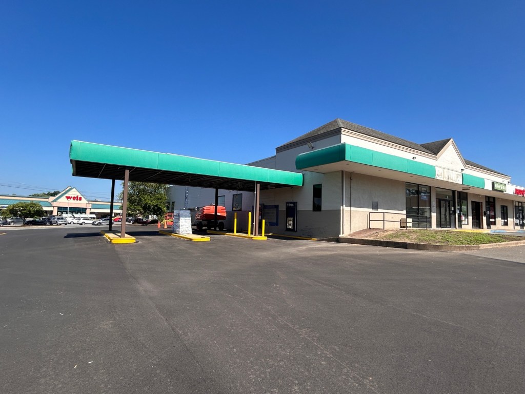
 Peoples Security Bank & Trust is moving its Nanticoke branch from near Patriot Square, pictured, to the former Citizens Bank location at 75 N. Market St., near the Weis supermarket. (Bob Kalinowski / Staff Photographer)